There are always some interesting walks that seem to linger on the "Someday" list. I had read about the unusual history behind the March 1953 American Air Force RB-36 airplane crash in a couple of places; Hike into History by: Susan Flanagan The Telegram Nov. 5, 2008 (link) and summarized on the blog Hidden Newfoundland.
"On the night of March 17, 1953 General Richard E. Ellsworth and his crew took off from the Canary Islands on a mission to test North American air defenses. The mission took a tragic turn when a change in weather conditions pushed the plane off course. Early in the morning on March 18 the enormous B-36 Peacemaker aircraft crashed into a mountain on the western side of Trinity Bay just north of the community of Burgoynes Cove. All 23 crew members were killed."
I knew it wasn't an especially difficult hike, but as the saying goes: "Procrastination always gives you something to look forward to." The hike up to the RB-36 crash site near Burgoyne's Cove is definitely worth doing.
Driving to the trail head is not difficult, but be warned that the last 5km is gravel road that near the end can be rough but quite passable if you drive slowly.
 |
| From Clarenville, travel through George's Brook to Rte 232 and follow it to Burgoyne's Cove (click to enlarge map) |
As you pass a long and narrow pond area on the right side, (see map below), watch for eagles who sometimes nest in this area. This pond drains into Nut Cove below and at this point you are very close to the trail head.
 |
| In Burgoyne's Cove, turn left past the church and then right at the Slate Quarry sign. Follow this gravel road about 5 km to the sign indicating the trail head (click to enlarge map). |
The trail is well-defined and courses over red slate rocks up the hill through lovely forest. There are a couple of benches along the way to relax and enjoy the mossy forest views. This trail is a steady climb for about 40 minutes, but it isn't overly strenuous if you take your time and enjoy the walk.
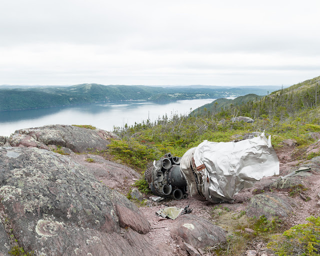
When you emerge from the forest, airplane debris is immediately visible, as is the superb view of Smith Sound, with Random Island, Lance Cove and Petley in the distance.
 |
| Looking at Smith Sound with Random Island, Lance Cove and Petley |
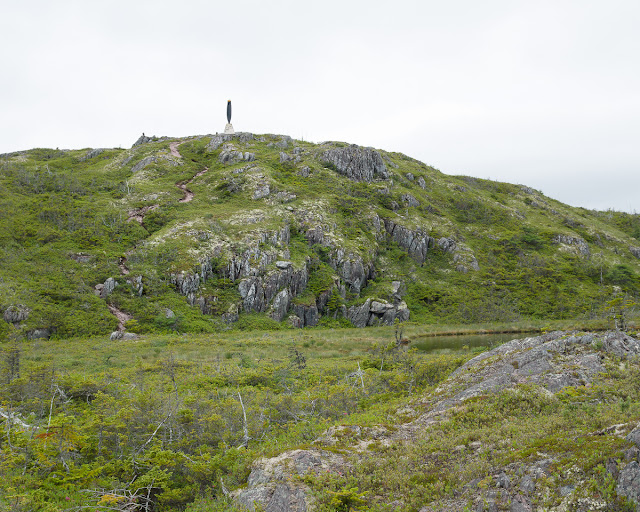
There is a further hill with a trail that leads to the monument erected in honour of the crew. It's worth making the final climb to the monument; you are rewarded with a 360 degree view of the area.
At the hill top there is a monument dedicated to the B-36 crew members and listing their names. The monument features one blade of the airplane's propeller, giving one a sense of the size of this very large aircraft.
Coming back down the hill the main debris field can be seen in a small valley.


No comments:
Post a Comment