It’s wonderful to
see this lovely trail re-opened. In 2010 Hurricane Igor brought its 200 mm of
rain and 100+ km/hr destructive wind power to this area resulting in the
closure of this trail. I don’t know the full extent of the damage here, but it’s
almost a certainty that most of the bridges and many of the boardwalks were
wiped out.
Parks Canada has done
a wonderful job of restoring the trail this year, making it a lovely walk and
easy enough for children to enjoy. Presumably,
welcome changes in federal government spending priorities have allowed Parks
Canada to undertake the necessary repairs this year.

Most impressive is the new suspension bridge and the many sections of new boardwalk as the trail makes its way through areas that would be wet most times of the year.
A variety of wildflowers can be seen along the trail, Yellow Clintonia, Turtlehead, and the much maligned Purple Loosestrife, which is highly invasive but still very pretty.
The trail follows Southwest Brook as it makes its way to the salt water of Southwest Arm. The brook is almost constantly in sight and sound with its tannic waters making cheerful music. The trail meanders through coniferous forest where evidence of Hurricane Igor’s destruction can still be seen.
Since this is a National Park, berry picking is prohibited, but the ruby red Partridgeberries are plentiful.
The trail (about 2.7 km one way) comes
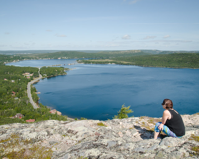
out at the salt water of Southwest Arm where there is a picnic shelter. One
could start the trail from here as well. The common route is to park beside the
highway at the area near the picnic area about 6 km west of the Newman Sound
turnoff. There is a picnic shelter and washrooms here as well. The trail starts
near the brook by the Parks Canada sign.


